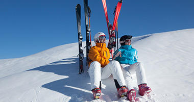
Mt Hutt is easily accessible from Christchurch and features more than 365 skiable hectares. This is a big mountain with great terrain, including several expert runs to challenge the advanced skier.
For more information regarding Mt Hutt ski holidays contact a friendly Flight Centre consultant and don't forget to ask about our great deals on hotels, tours, travel insurance, transfers and more.
Fast Facts
Ski Season:
Mid June - Mid October
Opening Times:
9am - 4pm
Terrain Grades:
2 beginner runs, 9 intermediate/advanced intermediate runs, 22 advanced runs & 4 expert runs.
Elevation:
2075m top elevation
Lifts:
1 high speed six seater, 1 quad, 1 triple & 1 magic carpet.
Ski School:
Child and adult ski school catering to all ski and snowboard abilities
Cost of a Day Pass:
AU$72
Car parks:
There is 1 large parking area and 1 smaller area.
Getting There
The nearest airport to Mt Hutt is at Christchurch, a two drive away. Methven provides the closest accommodation base, a 40 min drive away. There are privately-operated shuttles running from Methven and Christchurch to Mt Hutt. Book flights online
Accommodation
There is no accommodation at Mt Hutt. However nearby Methven has options catering to all budgets and styles. Book accommodation online
Car Hire
Hire a car in Christchurch. Chains are essential so be sure to hire chains also. You can book your car online to guarantee availability.
Travel Insurance
Skiing and snowboarding are great activities. So you can enjoy the snow with peace of mind, consider travel insurance for your winter holiday.
Events
Mt Hutt hosts several competitive and fun events throughout the ski season including the finals of the Australia New Zealand Cup, Bikinis for Breast Cancer and Parklife Minishred.
All Inclusive Packages
For an all inclusive ski holiday package including flights, tours, ski passes and more please contact a Flight Centre consultant on 0800 24 35 44 or fill in the enquiry form below.
Trail Map
Download the below PDF for a detailed map of the different trails available at Mt Hutt. On this map, green lines represent beginner trails, blue are intermediate and black lines are advanced trails. The straight red lines mark the ski lifts.


